By Kandice Watson, Documentarian
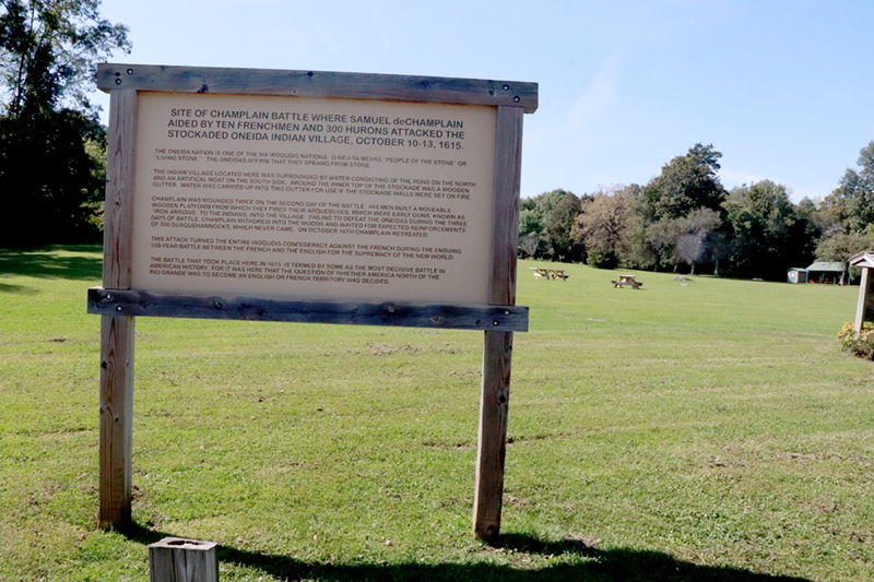
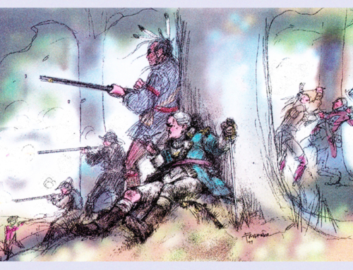
Nichols Pond, located in Fenner, NY, was the site of an Oneida village in the late 1300’s and early 1400’s. It may have been the principal Oneida village at that time with many other smaller villages surrounding the area. The village was situated high above the neighboring bluffs, which proved to be beneficial in providing protection against approaching enemies. Many historians claim that Nichols Pond is the site of Samuel de Champlain’s infamous 1615 battle with the Onondaga, but there is strong evidence against this conclusion. Despite having found no metal fragments from bullets or any evidence along those lines, many cling to the idea that this could have been his battle site. Unfortunately, many stories and artifacts have been fabricated or manipulated to align or support this idea, sometimes leading to frustrating attempts by some scholars to put this “story” to rest once and for all. What we do know is that Nichols Pond was the site of a principal Oneida village, and that is an indisputable fact.
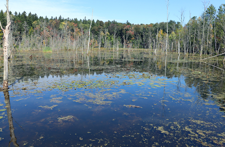
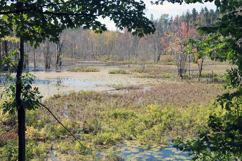
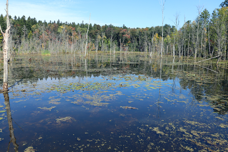
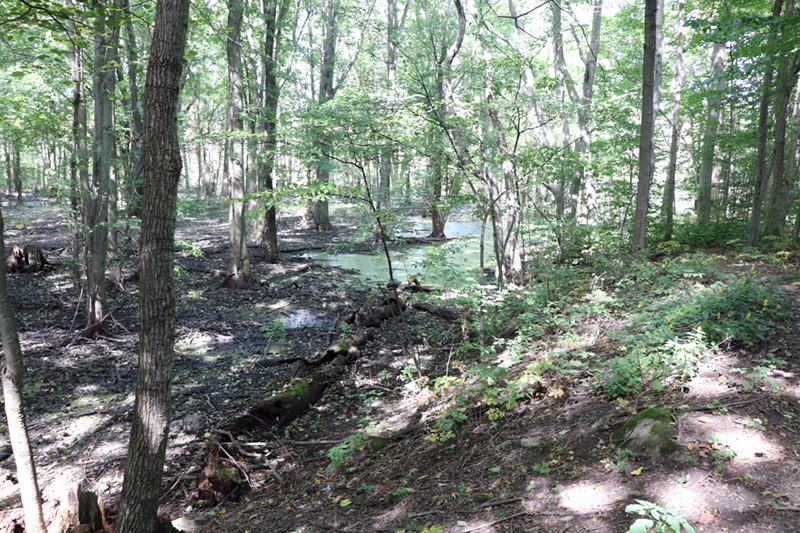
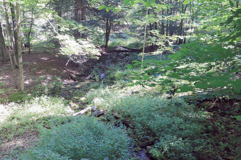
As with many Oneida villages of the time, water surrounded three sides and acted as what one might call a “moat”. The water was swampier and not good for canoeing or travel. The swamps provided very good protection for the settlement and could be monitored from up high on the palisaded walls of the village. It is much more difficult for enemies to wade through a swamp than it is to glide a canoe across unencumbered water, thus guarding the village was made easier and required fewer people.
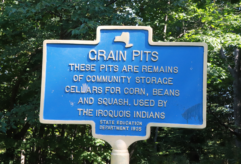
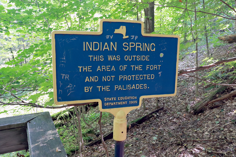
The site encompasses two areas that were divided by a small stream. The northern zone is around three acres and contains what is known as the “Wooded Ridge” area of the site. This area extends across to the east side of Rouse Road and is the location of the “grain pits”. There are approximately 5 pits, each roughly 3 feet in diameter and 4 feet deep. They may have filled in with dirt over time, so initially may have been much deeper. Dried food stuffs would be stored in these pits during the winter, such as corn and fruit. Behind these pits is a ridge or cliff of sorts under which exists a natural spring of fresh water. A stairway has been built there, which leads down to the bottom where the spring can be reached safely.
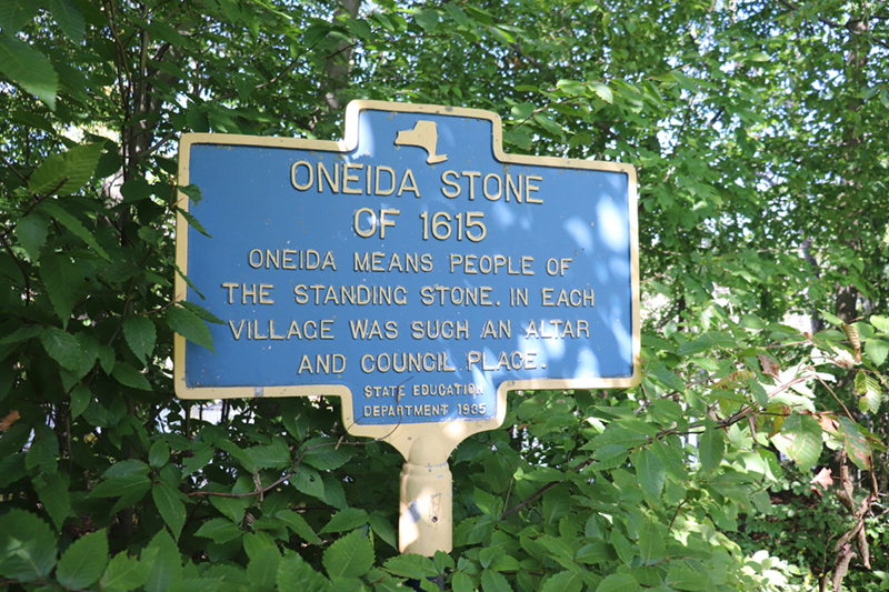
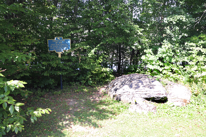
The southern area of the village site, approximately 3.5 acres, includes the flat section of the park and is where graves were discovered in 1955 by John Longyear of Colgate University. This section has been fenced off to discourage any further disturbance of the gravesites. On the north side of this section sits what has been called the Oneida Stone. The stone is a boulder, very large and imposing, named the Oneida Stone by Henry Schoolcraft in the 1800’s. The true Oneida Stone was located in Stockbridge and placed in the Forest Hills Cemetery in Utica for safekeeping in 1849 until it was returned to the Nation in 1974, so we know that the Nichols Pond stone is not the Oneida Stone, although some signage at the site still proclaims Schoolcraft’s assertion.
It is obvious that at some point, the Oneidas decided to move from Nichols Pond. One can only conjure why the Oneidas left, or even what the name of the village was during its occupation. Oneidas would move their village as necessary. Perhaps the game was not as plentiful and hunting parties were required to travel further and further distances in order to acquire meat, therefore making it more reasonable to simply move the village. The water may not have been as clean as it once was, or perhaps the crops weren’t growing as well as they had in the past due to nutrient loss in the soil with repeated planting. For whatever reason, the village was moved to Kanonwalohale, a large Oneida village that was located near present day Oneida Castle.
Oneidas moved their village frequently, as much as every 20 years, which required much forethought and planning. Men would scout different areas, sometimes staying in the area for months to research the best place to move. If a desirable spot was located, they would begin clearing the area for the new village. Small saplings would be bent and tied to the base of other trees, encouraging the branches to grow in a curved pattern, enabling the people to have full-size roof trusses upon arrival several years later. They would simply have to be cut and set aside for use. Although the Oneidas were not a nomadic people, they were able to disassemble and move their village very quickly and efficiently.
This is not to say that the sites would not have been used repeatedly, however. They may have moved to another location for a time and then returned to favored spots decades later. There is some evidence that this may have been the case with Nichols pond because the cemetery located by archaeologist Longyear in 1955 contained 5 bodies and was situated centrally inside the flat section. It is highly doubtful that Oneidas would have placed a cemetery in the middle of their village, so this burial ground was more than likely much older than their current settlement and they were unaware that the cemetery was there, or they could have simply forgotten about it over time and reoccupied the area.
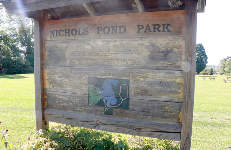
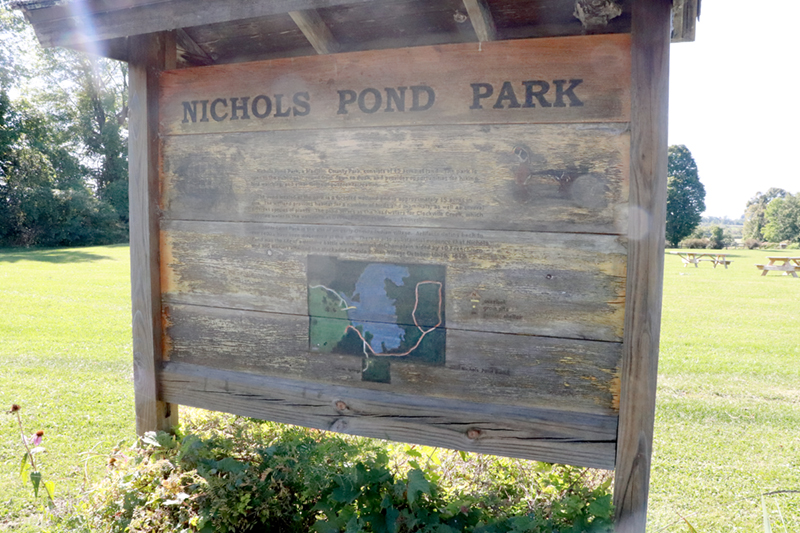
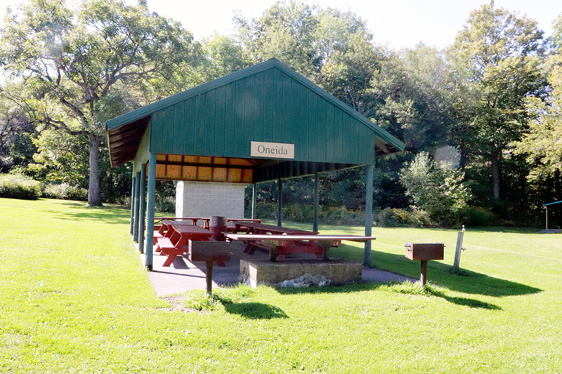
Today, Nichols Pond is a park owned by Madison County and has been in their possession since 1930. School and environmental groups are frequent visitors. An annual “Trip to the Homelands” made by Wisconsin and Canadian Oneida members includes a day trip to visit Nichols Pond so they may reconnect with their ancestors.

